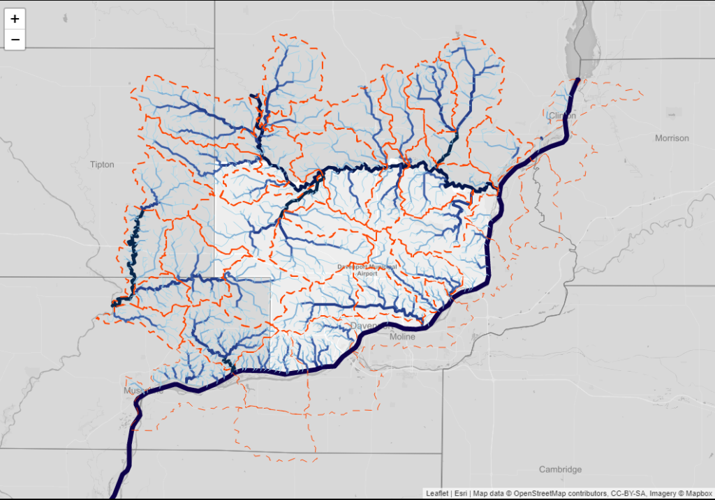
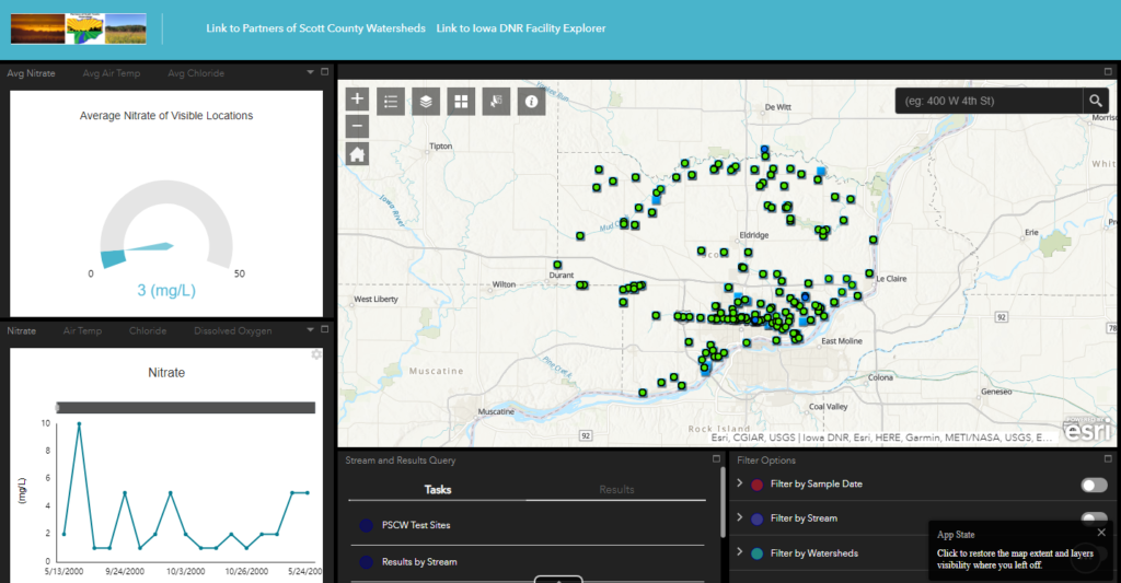
PSCW is proud to announce that we now have interactive maps showcasing our water quality data over the last 20 years! You can now explore the watershed that you live in and learn which Snapshot sites that we test every year near you.
Click here to check them out!